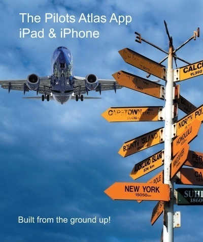


Pilots Atlas Satellite Wall Map
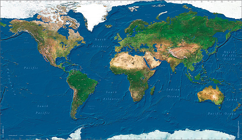
- High-resolution satellite image in photo quality
- laminated print, 88 x 150 cm (35 x 89 inch)
- with over 500 ICAO codes
19.95 EUR incl. VAT + p&h / Order now
Datas
| Size: | 87 cm x 150 cm (35 in. x 59 in.) |
| Paper Quality: | 200 g/sqm, mat foil laminate |
| ISBN-Code: | 3-00-010414-3 |
| Suggested retail price: | EUR 14,95 incl. 7% german VAT |
| Publisher/Copyright: | absoluteZero multimedia GmbH, D- 63533 Mainhausen |
| Aeronautical Datas: | Jeppesen GmbH Neu-Isenburg |
| Satellite-photo: | WorldSat International Inc., Canada |
| Scale at Aquator: | 1 : 27.500.000 |
| Description: | The fascinating view of our Earth from the Astronaut's eye. The Pilots World Satellite Wall Map. High-resolution satellite imagery in a photo quality, laminated print, 88cm x 150cm. The specialty for Pilots lies in the exact placement of over 550 airports and their ICAO codes. |