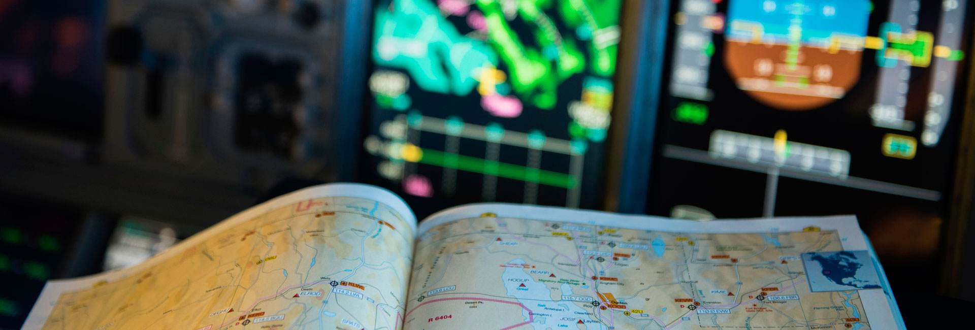
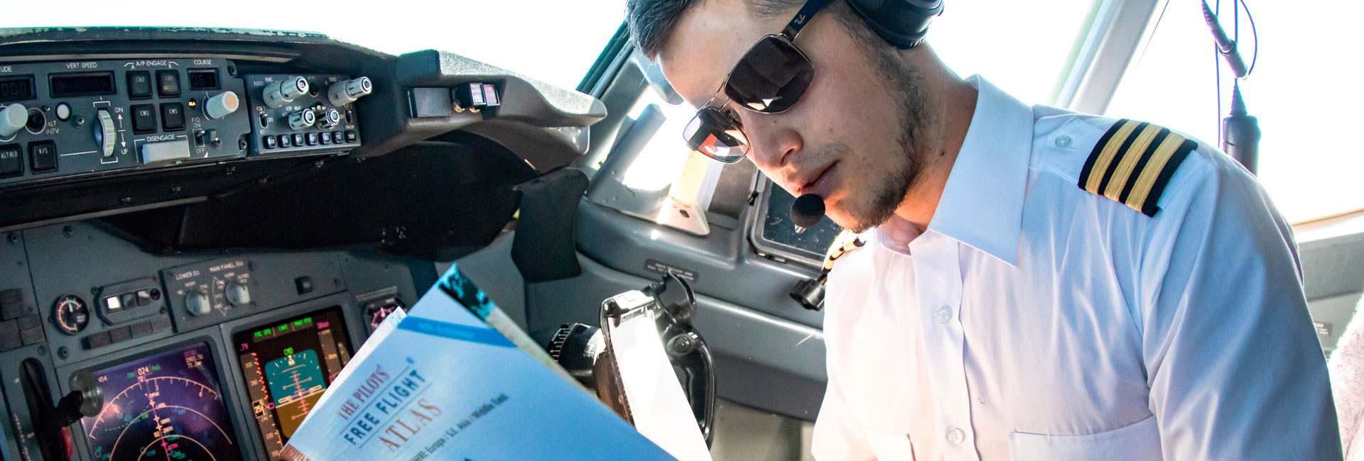
We put the world in your pocket. We started with global topographical mapping 1:800,000 (usable offline for in-flight viewing) with thousands of cities, highways, rivers, boundaries, lakes, railways and ferry-routs, then added over 20 selectable layers of aeronautical information including, airports, waypoints, navaids, weather, points of interest, FIR boundaries, trips, time zones, and a lot more.
The online map takes you to street level for detailed ground information.
The planning chart allows for an uncluttered / customizable planning surface.
Create your own map style by switching on/off more than 13 different map layers and 12 different databases.
Then add your own custom airports, favorite locations for shopping, sports, share photos, create and store planned flights and share all of these with friends or post to be included in the app as user defined additions.
The Captain’s Corner contains over 40 useful calculation tools and reference directories including dangerous goods, IATA delay codes, climb rate and fuel calculators, METAR, TAF and SNOWTAM decoders, De-Icing holdover times, weather symbols, airport directory, aircraft and airline directories and others.
We continue to build to the your needs and look forward to hearing from you. Please feel free to contact us with your suggestions for improvement, we listen.
Wishing you “calm seas and following air”.
The team from absolutezero


